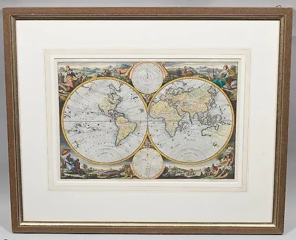
Masterdam is a world map featuring images of planetary systems.
Description
(1707 Amsterdam - 1800 ibid.) Orbis Terrarum, hand-colored copper engraving on paper. Published by the Keur family, Amsterdam, circa 1740/1750. A two-hemisphere world map featuring depictions of the Ptolemaic and Copernican solar systems, along with decorative allegories of the four continents: America, Africa, Europe, and Asia. The map is based on the cartographic works of Daniël Stoopenhaal. Plate size: 30.5 cm x 45.5 cm. Framed.
Similar lots
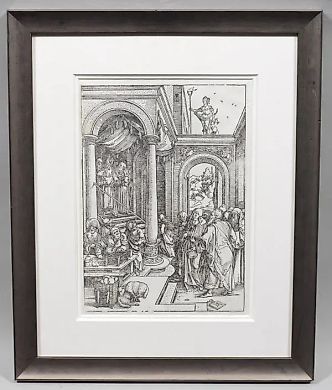
Lot No. 14062 "Mary's Walk in the Temple: Original Engraving …
Albrecht Dürer
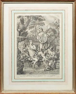
Lot No. 14056 "Copper Engraving by Roberto van Audenaerde: Ar…
Carlo Maratta
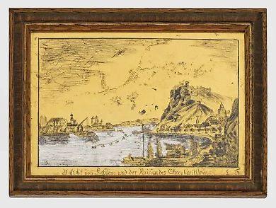
Lot No. 14883 "Historical View of Koblenz and the Ruins of Eh…
Unknown Author
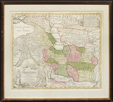
Lot No. 14054 Persian Empire: original copper engraving
Johann Baptist Homann

Lot No. 14165 "Romantic Painting in Basel: A Meticulously Det…
Konstantin Giz
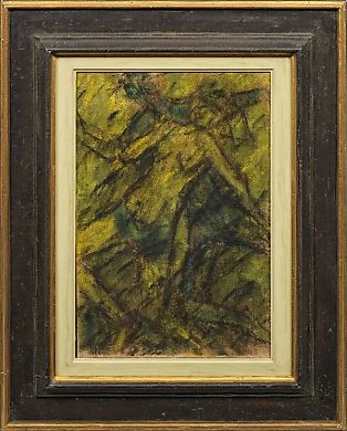
Lot No. 14594 "Expressionist Couple in Yellow-Green Tones: Da…
Christian Rolfs

Lot No. 14321 Porcelain tile depicting the "Fête Champêtre" s…
Meissen (Meissen)
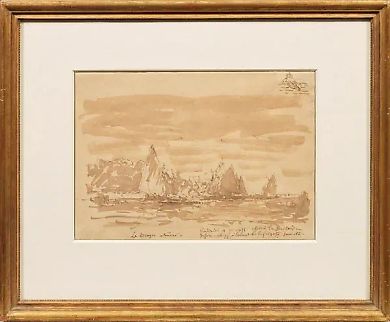
Lot No. 14168 "1 8 2 1 Boom - 1 9 1 1 Paris: Bragos boats ret…
Félix Ziem