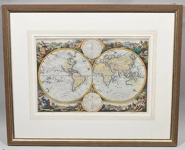
Masterdam - world map with images of planetary systems
Description
(1707 Amsterdam - 1800 ibid.) Orbis Terrarum hand-colored copper engraving/paper. Published by the Keur family, Amsterdam circa 1740/1750. A double-hemisphere world map featuring depictions of the Ptolemaic and Copernican solar systems, along with decorative allegories of the four continents: America, Africa, Europe, and Asia. The map is based on the cartographic works of Daniel Stoopendaal. Plate size 30.5 cm x 45.5 cm. Framed.
Similar lots
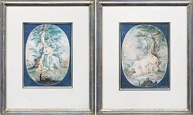
Lot No. 14779 Watercolor and gouache: allegories of music
Unknown Author
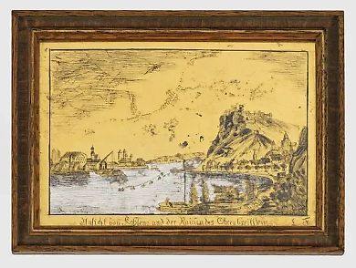
Lot No. 14883 "Historical view of Koblenz and the ruins of Eh…
Unknown Author
★
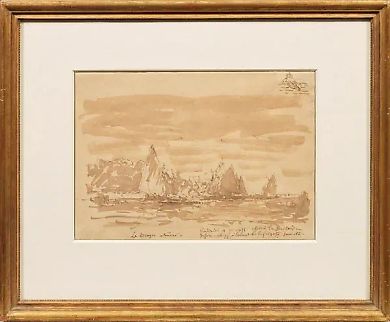
Lot No. 14168 "1 8 2 1 Bom - 1 9 1 1 Paris: The Bragos Boats …
Félix Ziem
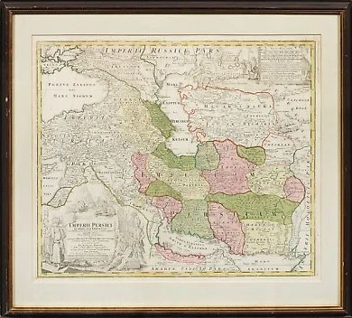
Lot No. 14054 Empire of Persia: original copper engraving
Johann Baptist Homann
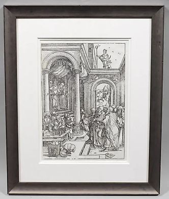
Lot No. 14062 "Mary's Walk in the Temple: Original Engraving …
Albrecht Dürer
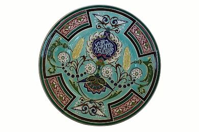
Lot No. 15431 Antique porcelain plate by Kuznetsov
Kuznetsova M.S. society
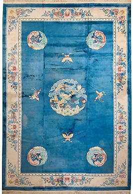
Lot No. 14535 Room size: Chinese carpet
Carpets
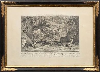
Lot No. 14049 "Copper Engraving: Art and Events"
Martin Elias Riedinger
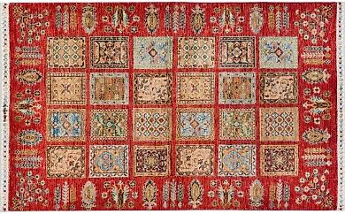
Lot No. 14536 Afghan Farahan Bridge
Carpets
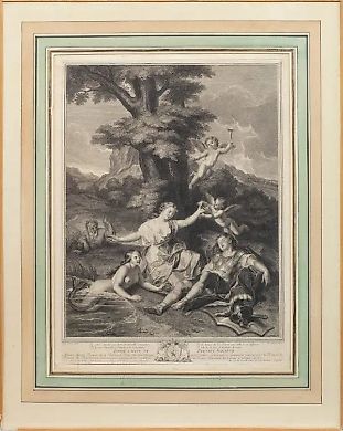
Lot No. 14068 "Charles Dupuis and His Engraving: The Splendor…
Antoine Coypel
