
Several souvenir plates with cartography.
KPM (Knallegårdens E.B. Design)
Description
Rounded shape. In a recessed, mirrored, expressive depiction of the map "region near Potsdam." Between the villages of Nowawries, Gütergotz, Schenkendorf, and Nudow (...) the present-day Potsdam-Mittelmark or "plan of the area intended for royal review in 1802" of Klein Jerutten (Polish Jerutki) near Ortelsburg in the voivodeship/Masuria (Warmian-Masurian) around 1802/1809. Based on cartographic templates by "F. Maull," probably from the "Geographical Special Atlas" by Daniel Gottlob Reymann or from "Wolff," i.e., "Ing. Geog. delineavit." Polychrome painting. Flag with grapevine ornament and inscription "presented on December 1, 1840 by an officer of the General Staff." Gilded, conically ascending pedestal. Scepter and KPM mark. D. 24.5 cm. Provenance: Christie's auction, March 7, 2001, Amsterdam, lot no. 19. A pair of topographical porcelain plates with cartography, painted maps of the Potsdam area and the Warmian-Masurian province. Scepter and KPM mark. KPM-Berlin. Circa 1840.
KPM (Knallegårdens E.B. Design)
Additional lots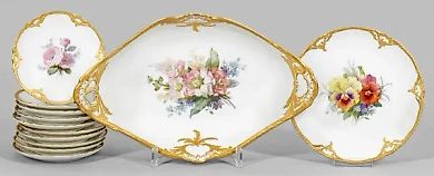
Lot No. 14210 Tableware set for 12 persons
KPM (Knallegårdens E.B. Design)
Lot No. 14328 Decorative bowl with the "flowers on the terrac…
KPM (Knallegårdens E.B. Design)
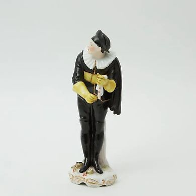
Lot No. 13640 Statuette Skapen
KPM (Knallegårdens E.B. Design)
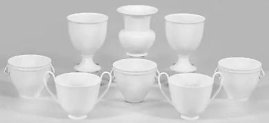
Lot No. 14192 White Porcelain Collection
KPM (Knallegårdens E.B. Design)
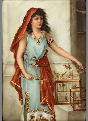
Lot No. 14319 Porcelain painting "Eastern Woman"
KPM (Knallegårdens E.B. Design)
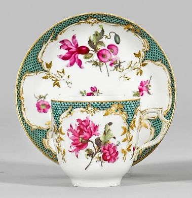
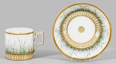
Lot No. 14338 Decorative cup with floral pattern
KPM (Knallegårdens E.B. Design)
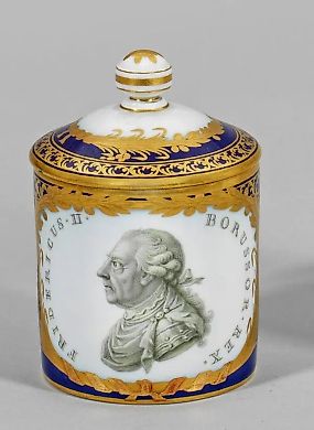
Lot No. 14331 Covered bowl of Berlin porcelain with a portrai…
KPM (Knallegårdens E.B. Design)
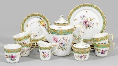
Lot No. 14205 Tea set "Kurland" with a summer floral ornament.
KPM (Knallegårdens E.B. Design)
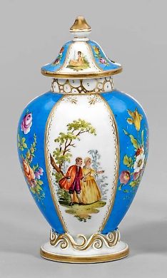
Lot No. 14280 Small lidded vase with gallant scenes and flora…
KPM (Knallegårdens E.B. Design)
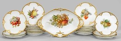
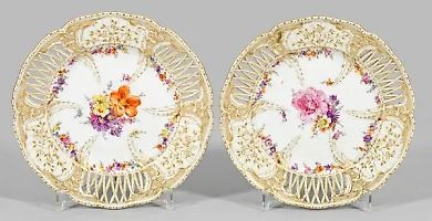
Lot No. 14211 Fruit service
KPM (Knallegårdens E.B. Design)
Similar lots
Lot No. 14292 Two decorative round dishes with "Three Friends…
Meissen (Meissen)
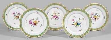
Lot No. 14204 Five "Courland" dinner plates with summer flora…
KPM (Knallegårdens E.B. Design)
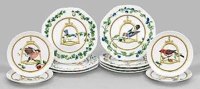
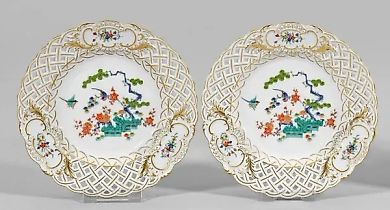
Lot No. 14188 A collection of eleven plates "L'etrier perchoi…
HERMÈS
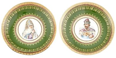
Lot No. 15572 Porcelain portrait plates of the Kuznetsov manu…
Kuznetsova M.S. society
Lot No. 14208 A pair of dinner plates with the "1st Potsdam S…
KPM (Knallegårdens E.B. Design)
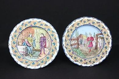
Lot No. 15823 Kuznetsov porcelain plates from the 19th centur…
Kuznetsova M.S. society
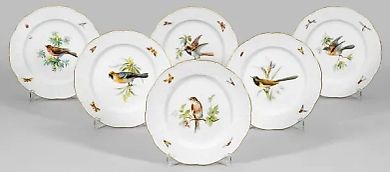
Lot No. 14254 Six dinner plates with bird decoration.
Meissen (Meissen)